Running on ...HOME OF THE 'TALL MAN'...
(And you can see the blog pictures below in much greater detail simply by clicking on them)
|
Monday, May 25, 2015
Almost Baldy

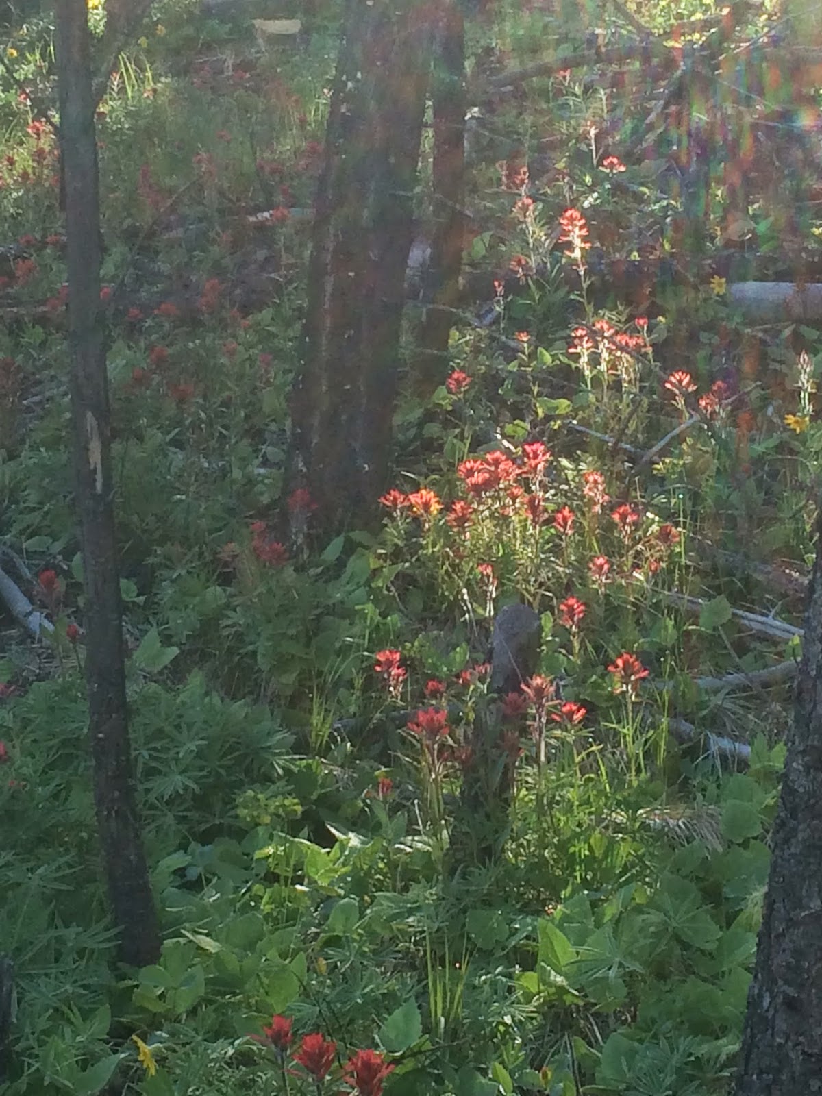
So today I drove to about half a mile short of the locked gate on the road up Baldy Mountain and trundled on up. It's a steep bugger ... I'd forgotten how much so. This is the view coming back down the face of the mountain with a patch of arrowleaf balsamroot in the foreground and the ubiquitous Stonewall Mountain and its snow-capped neighbors across the Blackfoot Valley to the north.
As I said, I'd forgotten what a straight-uphill run this is. Fortunately most of it was in the morning sunshine, and I left articles of clothing along the route. (I remind viewers of this on a computer that you can click on the pictures to zoom them up.)
My altimeter app said it was about 900 feet from the car to the spot where I turned around (I didn't go all the way up today ... next time!).

I made it to the last saddle on the southwest approach to the top — that's the subject of the above picture — and it wasn't that much farther. I'd reckon I was a quarter to a half a mile and about 3-400 more feet to the top, but having gone kind of long just two days ago, I decided to leave that glory for the next time — maybe the next time such a beautiful morning presents itself.

I shot this on the way back down to show how the old road traverses the face of Baldy, one of those bare mountains like Sentinel and Jumbo in Missoula. I'm not sure why it's treeless, but the view of it dominates the south-southeastern horizon from Lincoln and environs. I made it today to the spot where the trees meet the baldness to the right of the peak, so you can see I was not that far from the top. I was, however, sucking wind when I got to that saddle.
And the "main" track goes on to the south from the saddle, onto some even higher mountains. Sometime I will follow that and see where it goes.
I'll close out today's photo album with a picture of the Swan Range, which constitutes the western edge of the Bob Marshall Wilderness. The snowy mountains in the distance are about 50-60 miles from where I stood. I have another, even hazier, picture of the Mission Range, which is across the Swan and Clearwater valleys west of the Swan Range and is even farther from where I stood, but you get the point:

Because of the unrelenting steepness, I doubt if I met my usual measuring pace, so I'll call today's run a 7.5-miler.
7.5; 7.5; 109; 422
Posted by Mose, 10:30 AM
0 Comments:
Subscribe to Post Comments [Atom]


